
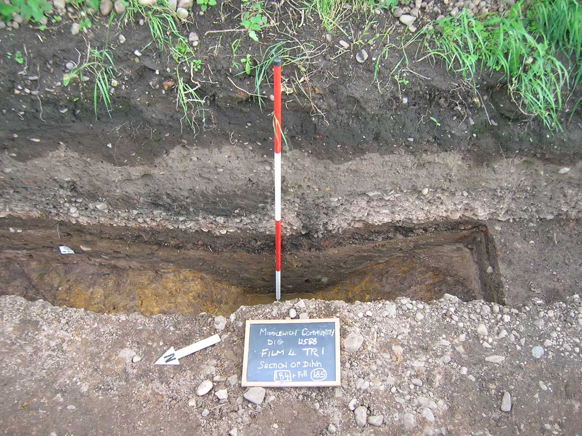
The roadside ditches and sand ‘agger’ of a Roman road were identified in the centre of Trench 1, 6.4m from the eastern end (Figure 33). The eastern ditch, context [150] was 2.1m wide and 0.5m deep with a shallow concave profile. The western ditch, context [184], was 2m wide and 0.6m deep with a similar profile (Figure 34). The inner edges of the two ditches were separated by a distance of 5m, between which a deposit of clean yellow sand (166) up to 0.15m deep represented the agger, a cambered layer which would have supported the road surface, probably derived from the excavation of the two ditches.
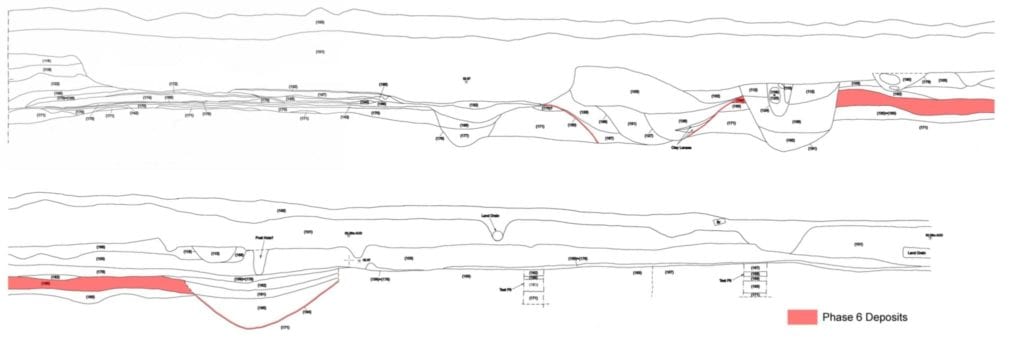
The only artefacts recovered from the agger were two sherds of pottery- a fragment from a local oxidised ware vessel and a sherd from a Dressel 20 Spanish amphora, neither of which are closely datable. Stratigraphically however, the construction of the road must have post-dated the deposition of the Phase 5 floor layers at the eastern end of the trench, as ditch [150] cut the latest layer (132).
The road appeared to run parallel to King Street, approximately 10m to the west and apparently heading towards the fort at Harbutt’s Field. It was not possible to determine the true alignment of the road could however as only a short section was exposed.
There was no trace of surface metalling, though it is possible that stone surfacing material may have been reused to create the later metalled surface seen in Trench 1 (Phase 8, context (103)).